


Cyclonic To Hit Odisha Coast After Dussehra
Cyclonic To Hit Odisha Coast After Dussehra
 admin
admin
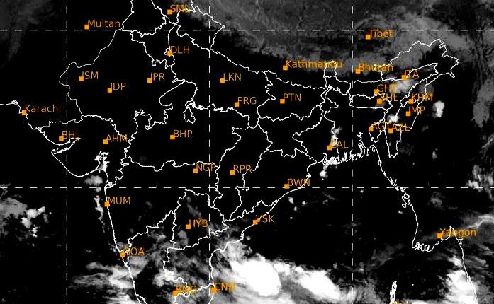
Bhubaneswar: While heavy rainfall has commenced in the Andaman Islands in the afternoon of October 16th or the next morning, under the effect of cyclonic flow over the Bay of Bogal, Oversight meteorological agencies have predicted that the system would increase into a cyclonic storm.
The cyclone traffic over the North Andaman Sea and the neighbourhood will increase to a cyclone storm, according to the predictions of the privately-owned Weather agence Windy from the Czechoslovakia, and the private Weather agency Skymet from India.
The Windy prediction is that either on the night of 16th of October or the morning of next day, the landfall of the cyclone storm will take place between Puri and Paradip. The rains on the North and Central coasts of Odisha and West Bengal may be very severe. under its effect.
The Skymet Weather Services claimed that the low-pressure system developed across the South China Sea is expected to merge with the one which is going to be located over the sea and neighbourhood of North Andaman. This strengthens the system further and might be concentrated in a cyclonic storm.
If a cyclone intensifies the system, the Saudi Arabia term is called 'Jawad.'
The Department for Meteorology (IMD) in India has also stated that the systems will land on coastal Odisha whether it be a low pressure or a cyclone storm.
Director, Weather Center Bhubaneswar, HR Biswas reported that within the next 24 hours cyclony is more likely to increase through the North Andaman Sea and the area to a Low Pressure Region in the same area (October 11). The strength and path of the cyclone storm, however, can only be estimated 24 hours following low pressure development.
"With 4-5 days left over the sea, the low-pressure region will be clearly illustrated in the next 48 hours on 13 October as it continues to intensify," says Biswas.
The well-known meteorologist Dr Surendranath Pasupalak claimed that the exact model of the system would come between 24 and 48 hours, confirmed that the cyclonic tempest will move near the shore of the Odisha.
Dr. Sarat Chandra Sahu claimed the dimensions of a cyclonic storm will be known by October 12, the former head of the Meteorologic Centre, and Director of CEC at University of SAO.
He said that the movement and intensification of the cyclonic turges, the exact place of their landfall and the impact on Odisha and Andhra Pradesh can be said only after the formation of the low-pressure areas, since the current state of Bangladesh Bay and its atmosphere are favourable for the formation of a cyclonic storm.
"The rainfall will be either on 16 October or the next day," said Sahu. "It will be a cyclonic storm or a very severe downpour."