


Heavy Rain To Lash 3 Odisha Districts On Dec 3
Heavy Rain To Lash 3 Odisha Districts On Dec 3
 admin
admin
Bhubaneswar: On December 3, heavy rain is expected to lash one or two locations in Gajapati, Ganjam, and Puri, with a possible low-pressure region building in the south Andaman Sea by Tuesday, according to the India Meteorological Department (IMD).
Many sites in South Coastal Odisha, a few places in North Coastal Odisha, Koraput, Malkangiri, Rayagada, Kandhamal, Dhenkanal, and one or two places in the remainder of the state are likely to have light to moderate rain or thundershowers, according to the forecast.
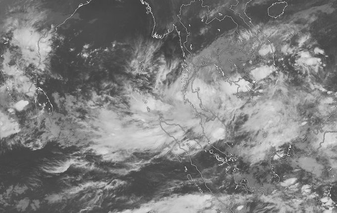
"On November 30, a low-pressure region is expected to form over the South Andaman Sea. In the next 48 hours, it is expected to become more noticeable and move west-northwestward," the IMD noted in its mid-day bulletin.
The projected system may intensify into a cyclone, according to the agency's tropical weather outlook, since the risk of cyclogenesis over the Bay of Bengal after 96-120 hours is 'High.'
"The current sea and climatic circumstances are favourable for the formation of cyclonic disturbance over the Gulf of Thailand, as well as its continuation and strengthening over the Andaman Sea region," the statement continued.
Rainfall is likely to begin on December 2 in Gajapati, Ganjam, Puri, and Jagatsinghpur, with mild to moderate rain or thundershowers in one or two locations.
Squally weather with surface wind speeds of 50-60 kmph gusting to 70 kmph is expected across the westcentral Bay of Bengal from December 2 under the impact of the system. From this date forward, fishermen are urged not to venture into the deep water.
The probable cyclone is expected to travel towards the Odisha coast and make landfall between Berhampur and Puri, according to Monday's American GFS model.
The storm is expected to travel towards the Andhra Pradesh coast near Visakhapatnam, according to the European weather model.
On Monday, senior meteorologist Jason Nicholls tweeted about a low that is expected to build over the Andaman Sea on Tuesday. "As it tracks WNW through the Bay of Bengal, it will strengthen." Late this week, a storm might develop into a cyclone, causing devastating rains and strong gusts in areas ranging from coastal Andhra Pradesh to Odisha, West Bengal, and Bangladesh," he added.
According to Skymet, a private weather forecaster, the system would most likely go towards Andhra Pradesh in 2 to 3 days, where it will become a depression or cyclonic storm once it is well deep over the sea region over the central and southern regions of the Bay of Bengal.
If the system intensifies into a cyclone, it will be named 'Jawad,' as requested by Saudi Arabia, as the first of the northeast monsoon season.
The system is expected to approach the coast around December 2 and move west-northwestward, posing a hazard to the entire coast, including Tamil Nadu, Andhra Pradesh, Odisha, and even West Bengal, according to the forecast.